The Atlas That Circles Us
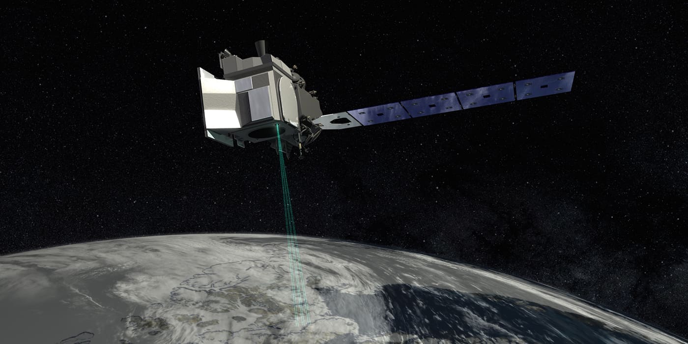
In 2003, NASA launched its first ICESat (Ice Cloud and Land Elevation Satellite). Technologically advanced in its design and a key component in the advancement of space discovery, this machine circled the world reading the global climate to help combat its changing. After several years of diligent service, it was decommissioned in 2010. This year, as part of NASA’s Earth Observing system, its sister-satellite, ICESat-2 is to be circling in the near polar, measuring ice sheet elevation back down earth via its Advanced Topographic Laser Altimeter System (ATLAS). The ATLAS will beam the data from the satellite’s computers down to the earth to determine elevation. The main purpose of the new satellite is to measure the polar ice sheet and climate conditions to measure vegetation and regional evolution. The mission is scheduled to take about three years to gather its information and return to earth. Set to launch at Vandenberg Air Force Base in California on the 12th of September, this satellite is ready to send space-advancement into the next stratosphere. The launch is going to have a mass of 1,320kg at a power of 1,200 watts and will reach 496km upwards.

